“Groundwater has been used for domestic and irrigation needs from time immemorial. Yet its nature and occurrence have always possessed a certain mystery because water below the land surface is invisible and relatively inaccessible. The influence of this mystery lingers in some tenets that govern groundwater law.”
– T.N. Narasimha
The quantity and disposition of ground water depends on the geological characteristics of the host rock formation. The search for ground water is faced with lots of uncertainties: to minimize or avoid failures altogether, it is pertinent that the right exploration techniques are utilized in the delineation of subsurface water-bearing formations.
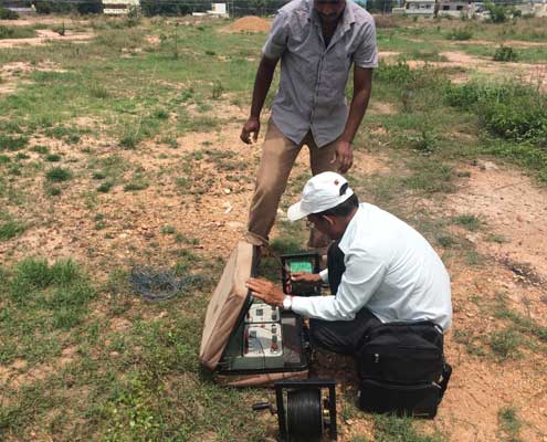
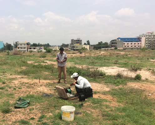
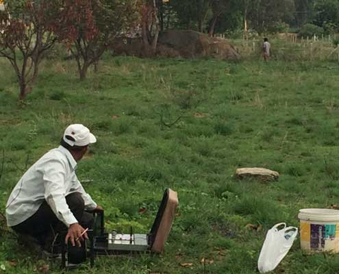
Vertical Electrical Sounding
The electrical resistivity method is best employed to estimate the thickness of overburden soil layer and also the thickness of weathered/fractured zones with reasonable accuracy. This geophysical survey method is the detection of the surface effects produced by the flow of electric current inside the earth It provides depth and thickness of various subsurface layers and their relative water yielding capacities
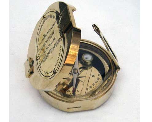
Brunton Compass
The Brunton compass is used by more geologists for field mapping of geological objects than other brands.
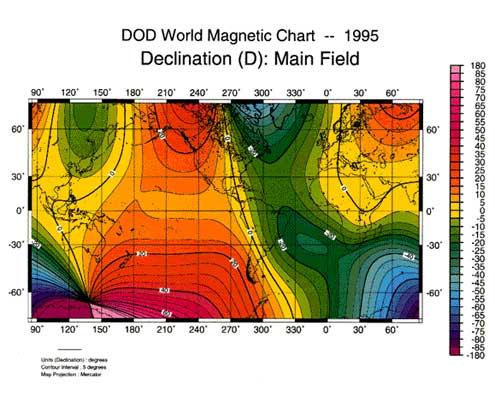
Declination is therefore the angle between where a compass needle points and the true North Pole. Magnetic declination is constant along the so-called isogonic lines.
One of the objectives of studying a complexly deformed area like the Gneiss aquifers that underlie Bangalore is to identify domains (subareas) within which the fabric data of, for example, folds, lineations, foliations are homogeneous.
Our Geologists with their years of experience in this area can produce useful maps for groundwater prospects.

